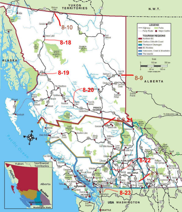
British Columbia going north
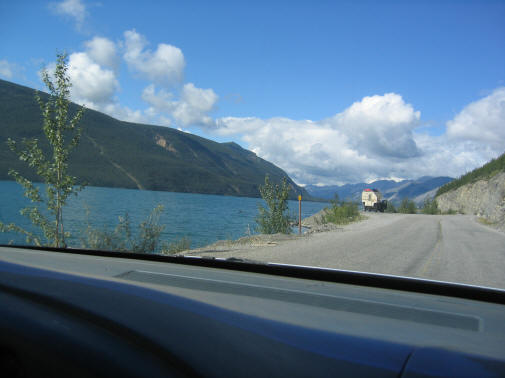
We stopped in Penticton, which is a resort town by a lake after crossing the border. The crossing took 20 minutes and the Canadian inspector kept asking where we were going and after we said upper Yukon he asked if we were going to Dawson City. It was a little out of way we thought so I said I don't know. He went back into his shack and was writing and I thought we would have the car torn apart. But no, he was writing on a slip of paper "Good for 2 cold beers at the Midnight Bar John Bear". It was a bar in Dawson City and we got our free beers. The Canadians are very friendly and we had no problems on any part of our trip. The next night we stayed in Quesnel, which is on the Fraser River, with a nice park on the river. Then to Fort St John where we spent the night. The next day's drive was the longest where we drove 525 miles to Watson Lake. Most of the motels and restaurants were closed but we got a place to stay and eat. Watson Lake is on the border with the Yukon. The map of BC and dates where we stayed is below.
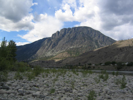
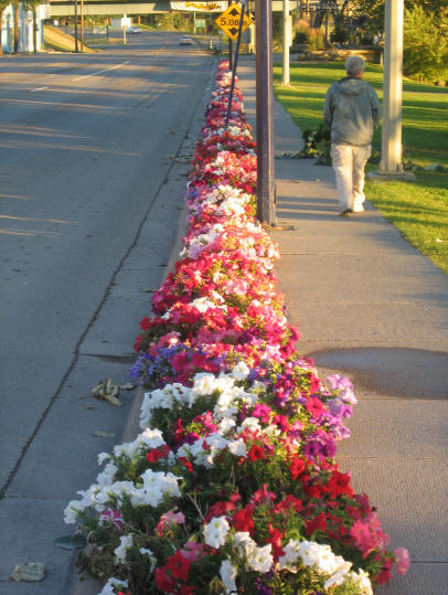
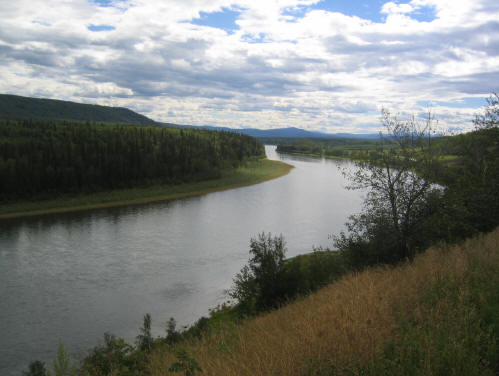
Fraser river at Spences Bridge Flower at Quesnel
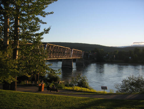
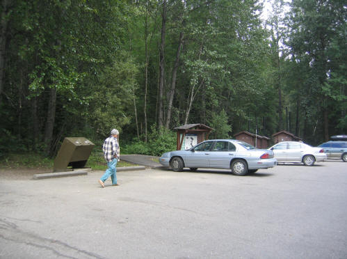
Pedestrian bridge across Fraser River at Quesnel Our car parked at one of the many rest stops in BC
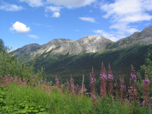
Canadian Rockies Lots of rivers in BC
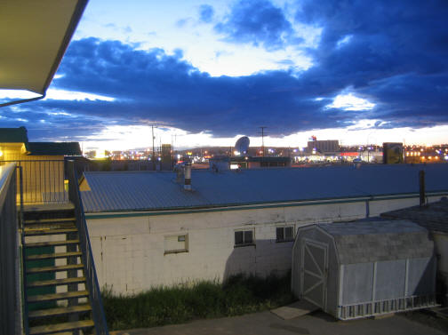
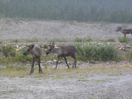
Sky from motel in Fort St John at 1000 at night Caribou along the road
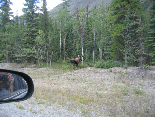
Teslin Lake Moose along the road
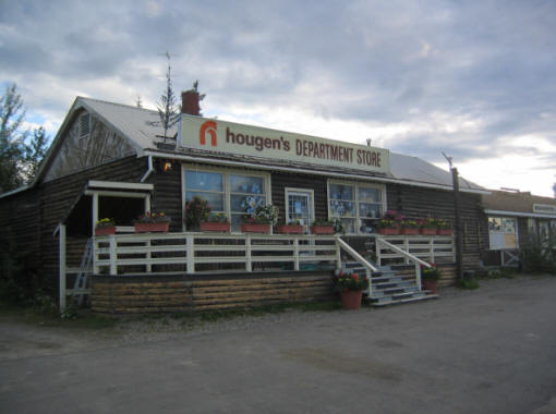
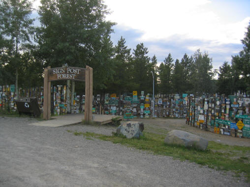
Department store in Watson Lake Sign post forest in Watson Lake