Tyro Mine
Location In Mohave county, East of Laughlin 8 miles on Highway 68, then 3 miles north on BLM road. Need to hike up hill to mine on top of hill 35 13.63n 114 27.07w
Mineral Gold
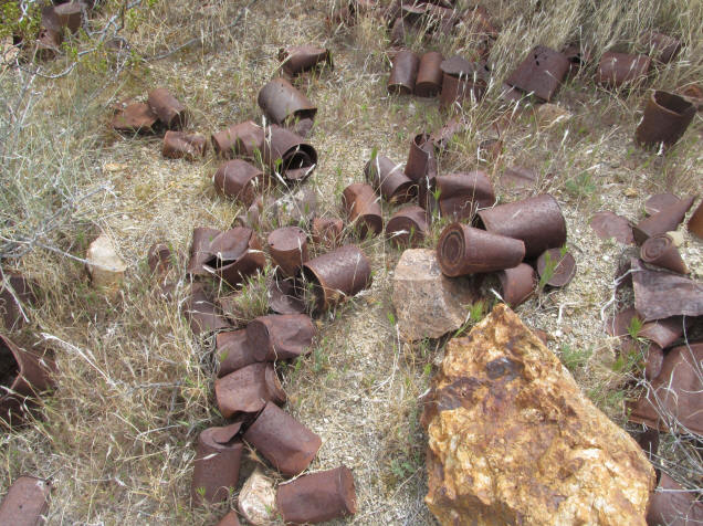
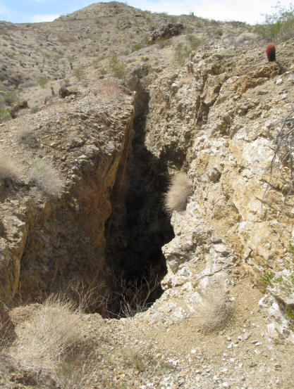
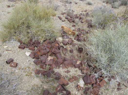
History This mine is on the top of a hill. a large and deep gash is on the way to the top. Lots of tailings
During 1915 and 1916, the Tyro shaft was sunk to a depth of 500 feet, and some drifting was done on the 200-foot level. Some
ore was produced from small pockets near the surface. During 1933-1934, W. E. Whalley and C. F. Weeks, lessees, built a road
from the mine to the Katherine highway and began production from surface cuts on the vein. Ref ARIZONA LODE GOLDMINES AND GOLD MINING